

Why soil comes up in every foundation conversation in Dallas
North Texas sits on some of the most expansive soils in the United States. That single fact explains why foundation repair is a larger industry here than in most of the country, and why almost every conversation about a Dallas foundation eventually arrives at the ground underneath it.
What follows is what the main soils and formations actually are, how they behave, and, importantly, what mapped soil data can and cannot tell you about your own house. If you already know you have movement, a foundation evaluation is the step that measures it.
Formations and soil series are not the same thing
Two different vocabularies get mixed together constantly, so it is worth separating them.
A geological formation is a mapped body of rock: Eagle Ford Shale, Austin Chalk, the Taylor Group. These are bedrock units, deposited over geological time, mapped by geologists.
A soil series is a classified soil type near the surface: Houston Black, Heiden, Ferris, Austin, Wilson, Crockett, and others found across Dallas County. Soil series are mapped by soil scientists and describe the material in the top several feet.
The soil above frequently derives from the rock below, which is why the two correlate. They are not interchangeable, and a page that uses them as synonyms is not being careful.
Houston Black and the Blackland Prairie
Houston Black is the classic Blackland clay: dark, deep, and highly expansive. It dominates large parts of Dallas County and extends north through Richardson, Plano, and Garland.
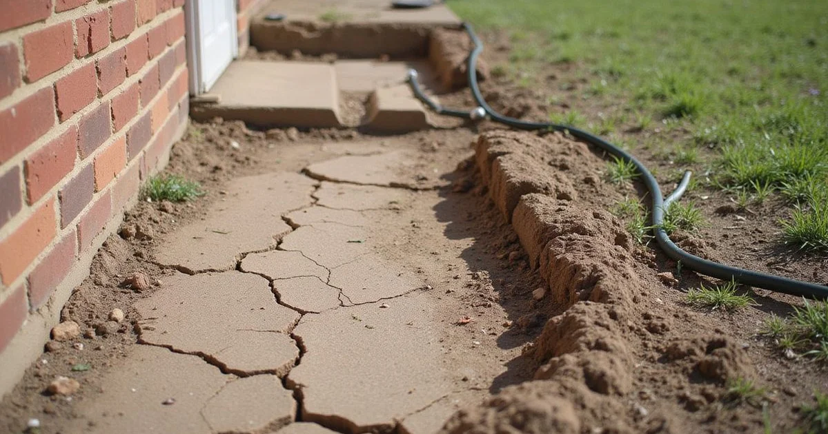
Its defining property is shrink-swell potential. When it takes on water it expands; when it dries it contracts and cracks, sometimes dramatically. Anyone who has watched deep fissures open across a lawn in August has seen it directly.
For a foundation, that means the supporting soil is not a constant. It changes volume seasonally, and when it does so unevenly across a lot the structure above follows.
Eagle Ford Shale
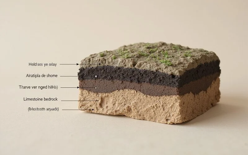
Eagle Ford Shale is a dark, fine-grained formation prominent through western Dallas County, including Irving and Las Colinas. Where it weathers, it produces clays with high plasticity, which is a technical way of saying they hold and release a lot of water and change volume substantially when they do.
Practically, properties over weathered Eagle Ford often show pronounced movement in both directions: heave when moisture arrives, settlement when it leaves. That is different from a pattern dominated by drought-driven settlement alone, and it can change the repair strategy. Our guide on heave versus settlement covers the distinction.
Austin Chalk and the Taylor units
Austin Chalk is a limestone formation running through parts of Dallas, notably under areas of Oak Cliff and the western and southern reaches of the county. Overlying soils tend to be shallower and less expansive than deep Blackland clay.
That sounds like good news, and often it is. But shallow soil over rock brings its own considerations: less depth for a pier to develop capacity, and abrupt lateral changes where the contact between units passes beneath a single property.
The Taylor Group, sitting stratigraphically between, produces its own soils again. The relevant point is that the Dallas subsurface is genuinely variable, and a single property can sit across more than one condition.
Why the swing does the damage, not the soil
Expansive soil in a stable moisture state is not a problem. Foundations sit on clay across the world without incident where moisture content stays reasonably constant.
North Texas does not offer that. A typical year runs from a wet spring through a long dry summer into autumn rains, and the soil follows. Within the active zone, that cycle produces enough volume change to move a residential structure.
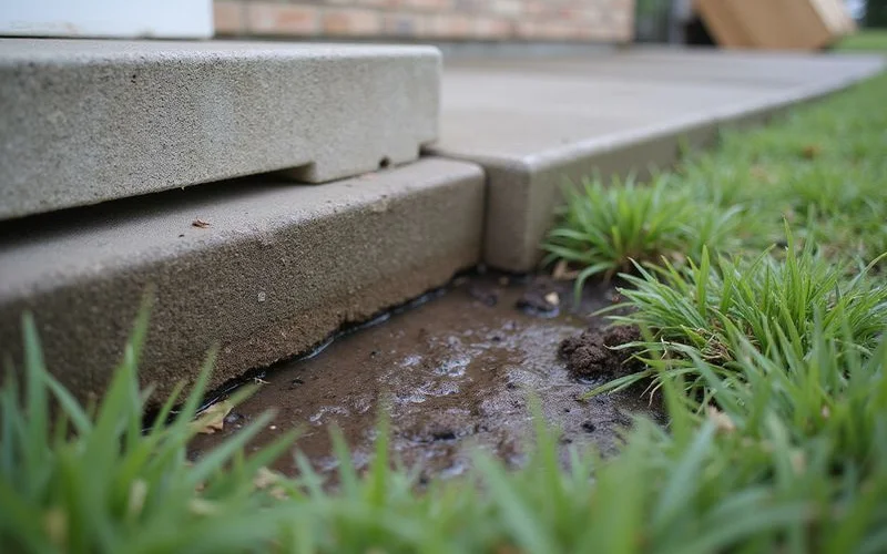
What turns movement into damage is unevenness. Shade on one side and full sun on the other. A mature tree drawing moisture from one corner. A downspout saturating one elevation for years. Irrigation on three sides and nothing on the fourth. The house is then supported by soil doing different things in different places, and differential movement is what cracks buildings.
What a soil map cannot do
It cannot tell you whether your foundation has moved. It cannot tell you by how much. It cannot account for fill placed during construction, grading changes since, drainage, trees, plumbing leaks, or original construction irregularity.
Soil surveys are mapped at a scale suited to agriculture and regional planning, not to individual residential lots. Two houses within one mapped unit can behave entirely differently.
This matters because soil data is routinely used as a sales device: your ZIP code is on clay, therefore your foundation needs work. That reasoning does not hold, and we will not use it. Our guide on reading Dallas soil and geology maps covers how to use the authoritative sources properly, including their stated limitations and survey dates.
How soil information is actually useful
It shapes what an evaluation looks for. Knowing a property sits over weathered Eagle Ford makes heave worth checking carefully. Knowing it sits on deep Houston Black makes drought-driven perimeter settlement a likely pattern. Knowing shallow soil over chalk is present affects how depth to refusal is likely to behave.
That is context for the person doing the measuring. It is not a diagnosis, and it should never arrive in your inbox as one.